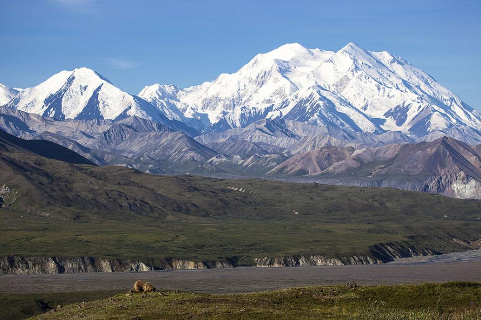
Among the many American female adventurers of the last century, the name Barbara Washburn stands pretty high up on the list. Not only did Barbara Washburn become the first woman in the world to climb Denali (Mount McKinley), the highest peak in North America, but she also worked with her husband to map the Grand Canyon.
Barbara Washburn’s life
Born in 1914, Barbara Washburn, like most women of her generation, was brought up with the idea that her place was in the home. She graduated from Smith College, took courses at Harvard, and eventually ended up as the director of the New England Museum of Natural History.
However, everything changed after she met her future husband, Bradford Washburn, who was an explorer, mountaineer, and scientist.
After their marriage in April 1940, the couple went on a trip to Alaska. Together with six other people, the couple signed up for an expedition to ascend Mt. Bertha, which stands 10,812 feet tall.
Barbara Washburn had no experience whatsoever with mountaineering. But she decided to accompany her husband. The first attempt failed and the team had to turn back. It was during the second attempt that they succeeded. After returning home, Barbara Washburn discovered that she was pregnant.

Barbara Washburn had no experience whatsoever with mountaineering prior to joining her husband for an expedition in Alaska. (Image: Screenshot via YouTube)
In 1947, she climbed Denali (Mount McKinley), which stands at 20,310 feet above sea level. Her husband had already climbed the mountain during his stint with the military in the Second World War.
For his second trip, he decided to take his wife with him. Initially, Barbara Washburn did not want to make the expedition since she worried that it would somehow affect her three children.
After a physician gave his assurance that a lengthy absence would be okay, she went together with her husband and created history by becoming the first-ever woman to reach the summit of the mountain. Though it became a huge headline the world over, Barbara Washburn herself never thought much about her achievement initially.
“Reporters expected me to come up with some deep psychological reason why I needed to be the first woman on the summit of Mount McKinley — why I felt I needed to excel like this. They were always disappointed when I said I simply wanted to be with my husband. I explained that when I was first asked to join the expedition, I didn’t want to go because I had three small children… Today I’m smart enough to know I was doing something special,” she writes in her book The Accidental Adventurer (Adventure Journal).

The reason Barbara Washburn climbed Denali (Mount McKinley) was simply to be with her husband. (Image: Screenshot via YouTube)
Mapping the Grand Canyon
In the 1970s, Barbara Washburn and her husband took on an ambitious project to map the entire Grand Canyon, the results of which were published as a supplement to National Geographic magazine in 1978.
“Starting in 1970, they used aerial photography, laser measurement tools, and a wheel-mounted odometer to fully map the Grand Canyon for National Geographic. The project took seven years and nearly 700 helicopter trips,” according to National Geographic.
For this cartography achievement, the Washburn couple was awarded the 1980 Alexander Graham Bell Medal from the National Geographic Society. Eight years later in 1988, the couple also received the National Geographic Centennial award together with 15 other legends like Jacques-Yves Cousteau and Edmund Hillary.
When she was not exploring the world, Barbara Washburn worked as a reading specialist for children suffering from learning disabilities. She died in 2014, just a few weeks shy of her 100th birthday.
Follow us on Twitter, Facebook, or Pinterest

