
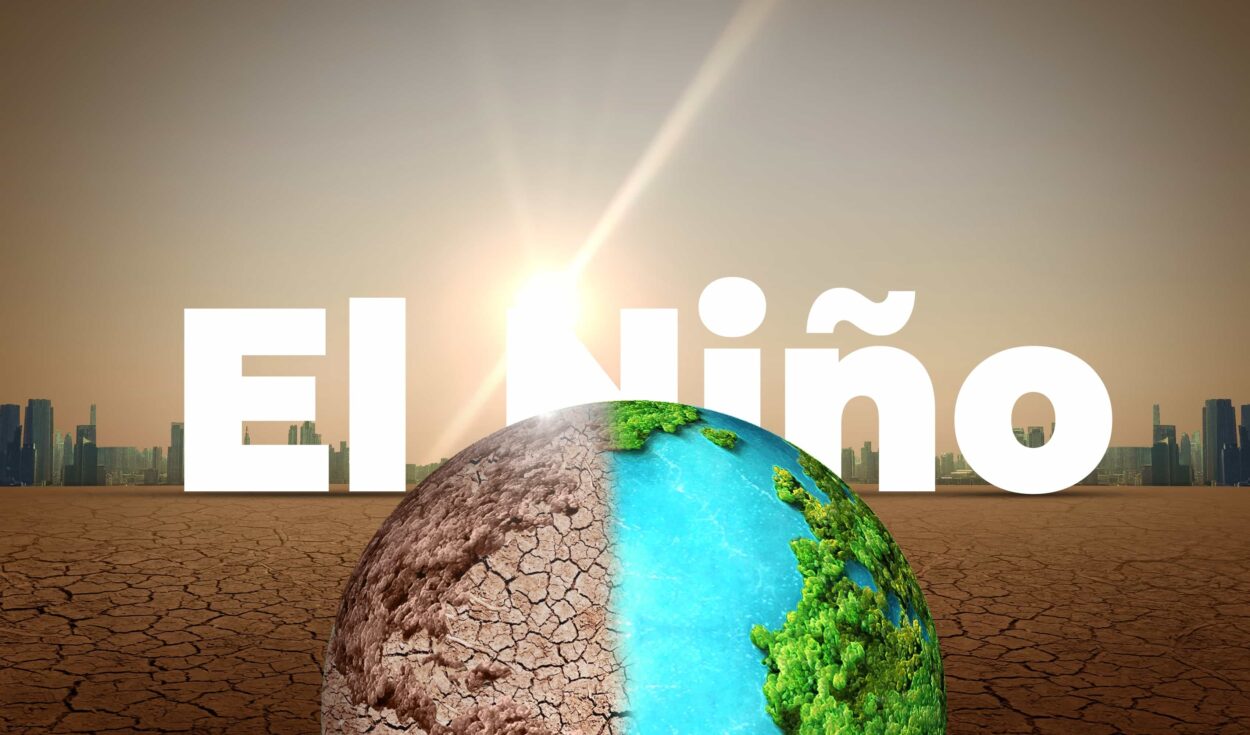
Super El Niño 2026 is no longer a forecast. It has arrived. NOAA confirmed the event officially on June 11, issuing an El Niño Advisory alongside something climatologists rarely say out loud: that there is a 63% chance this event will surpass 2.0°C above the Pacific’s long-term baseline — a threshold that would rank it among the most powerful in the historical record. And the record goes back to 1950. For context, the infamous El Niño of 1997-98 flooded California, collapsed global fisheries, and contributed to the death of more than 2,000 people. The 2015-16 event drove global temperatures to levels never seen before. This one, scientists are now saying with measured alarm, may exceed both.
There is a particular quality of unease in the language climate scientists use when they say the models are extrapolating beyond historical precedent. It means the tools built to predict this system were not built for conditions this extreme. The EU’s Joint Research Center, in a report published on June 15, stated plainly that, for its most extreme scenario — and the current trajectory increasingly maps to that scenario — it is drawing on projections with no historical analog to verify against. The planet is running an experiment without a control sample.
What El Niño actually is — and why this one is different
El Niño is not a storm. It is a reorganization of the entire tropical atmosphere. Under normal conditions, trade winds blow east to west along the equator, driving warm surface water toward Southeast Asia and Australia. Cold, nutrient-rich water rises from the deep Pacific off the coast of South America — a process called upwelling that sustains one of the richest fisheries on Earth. The system is a vast, self-correcting engine.
During an El Niño, that engine reverses. Trade winds weaken or fail entirely. Warm water that accumulated in the western Pacific — stored heat, years of it — sloshes back eastward. The tropical Pacific’s surface temperature rises. And that heat, released into the atmosphere, does not stay local. It reorganizes the jet streams, shifts monsoon patterns, and displaces rainfall across entire continents. El Niño is, in the words of climate scientist Daniel Swain at UCLA, essentially a 6-to-12-month-long mini global warming event — a pulse of heat from the ocean into the air that temporarily raises the entire planet’s temperature.
What makes the 2026 event different is not the mechanism. The mechanism is the same; it has always been. What is different is the baseline. The planet entering this El Niño is already running nearly 1.5°C above preindustrial levels — the warming threshold the Paris Agreement treated as a ceiling. When El Niño adds its heat pulse to that foundation, it is adding fire to a floor that is already warm. Swain’s words, delivered at a World Weather Attribution briefing in May, are worth sitting with: “In modern human history, we have never experienced a strong or very strong El Niño event amid pre-existing conditions that were this warm globally.” The tools built to predict this system were not built for conditions this extreme. The planet is running an experiment without a control sample.
The subsurface engine: A Kelvin wave nobody mentioned on the evening news
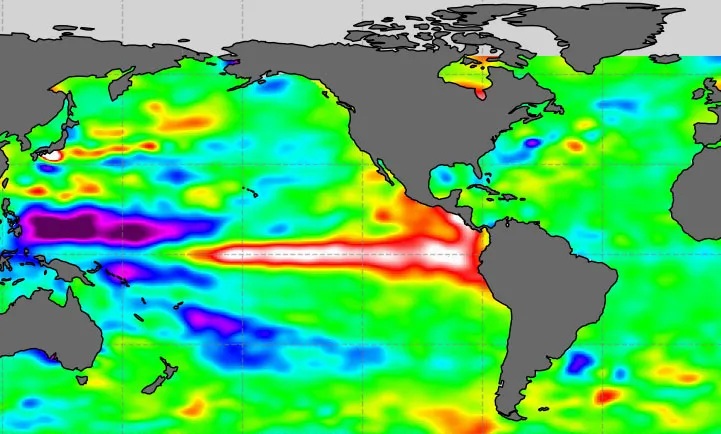
To understand why scientists are alarmed, it helps to understand what is driving the intensity of this particular event. Beneath the surface of the Pacific, a massive oceanic Kelvin wave has been propagating eastward for months — a pulse of anomalously warm water moving through the ocean’s interior, invisible from above, measurable only through buoys and satellite altimetry. When that wave reaches the surface — what oceanographers call a release valve event — it transfers its stored heat directly into the atmosphere.
The ECMWF, NOAA, and Australia’s Bureau of Meteorology all now show their ensemble models converging on the same trajectory: Pacific sea surface temperatures in the Niño 3.4 monitoring region potentially reaching 3°C above the historical average by late 2026. The current records were set in 1877 and 2015. Three degrees would equal or surpass both. The EU’s Copernicus Climate Change Service, factoring in June seasonal forecasts, has said El Niño is now “virtually certain” this year, and that its likelihood of being very strong — and even unprecedented — is growing.
The World Meteorological Organization, whose El Niño updates are the most authoritative source governments and humanitarian agencies rely on for decision-making, put it simply in its June update: there is an 80% likelihood El Niño continues at least through August, and probabilities above 90% that it persists through November. That is not a summer weather story. That is a multi-seasonal global climate restructuring.
Europe is already living the prologue
While the Pacific reorganizes itself below the surface, the atmosphere above Europe has already declared what the season intends. What hit Western Europe in late May and metastasized through June 2026 was not an ordinary heatwave. It was something climate scientists now have a precise term for: a heat dome — a blocking high-pressure system that parks a stagnant mass of Saharan air over a continent and compresses it downward, raising temperatures day after day with no ventilation, no relief, no mechanism for release until the pattern breaks on its own terms.
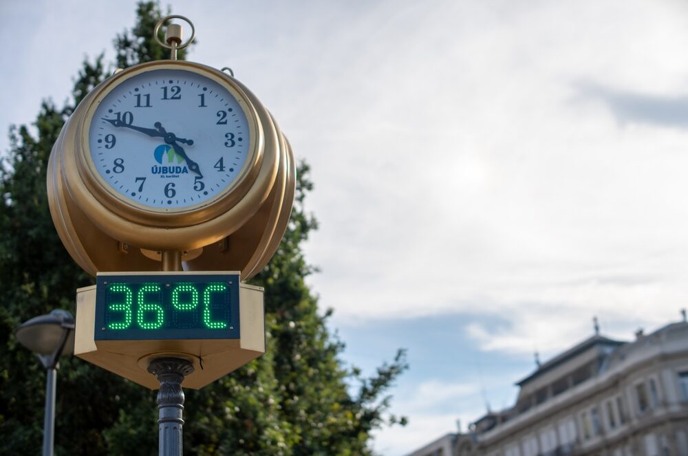
The statistics are not abstract. France recorded its hottest day ever on June 23, surpassing the records set during the catastrophic 2003 heatwave that killed 15,000 people. June temperatures reached 44.3°C in parts of the country. Forty-nine of 96 mainland departments reached the maximum red alert. The Eiffel Tower cut visiting hours. Schools closed. Train networks reduced service because steel rails buckle in extreme heat. The United Kingdom broke its all-time June record — around 38°C — obliterating the previous mark of 35.6°C set in Southampton in 1976. Spain’s national weather agency, AEMET, issued red alerts for 44°C in southern Andalusia and, in a detail that captured what has shifted, warnings of 40°C in the normally temperate Basque Country, on the Atlantic coast, which does not get temperatures like that.
Portugal approached 42°C in the Douro valley. Austria hit 39°C in Vienna. Belgium’s electricity price briefly exceeded 1 euro per kilowatt-hour at sunset as every available power station ran at full capacity to keep air conditioners running. Heat-related fatalities were reported across Spain and France within the first days of the event. The body count was rising.
Behind the statistics is a structural reality that European cities were not built for. Centralized residential air conditioning remains rare across most of the continent. The human body can cope with extreme daytime heat if it recovers at night — but what the heat dome delivers is what meteorologists call tropical nights, where temperatures stay above 20°C through the dark hours, denying that recovery window. Emergency rooms do not fill up because of the afternoon peak. They fill up because the body cannot cool itself for ten consecutive days. The heat dome does not ask permission. It does not peak and retreat on a schedule. It parks, compresses, and holds until the atmospheric pattern that created it decides to move.
The regional map for the next six months
El Niño does not affect the world uniformly. It is a system with known tendencies — regional patterns that historical events have traced often enough that scientists can make probability statements, if not precise predictions. Here is what the current evidence and consensus modeling suggest for July through December 2026.
The tropics bear the initial impact. Indonesia, the northern Amazon, and a band stretching from Southeast Asia through Central America will face drought conditions as El Niño’s restructuring of moisture patterns reduces rainfall across this belt. The WMO has issued drought risk warnings for large regions of Australia, South-East Asia, southern Africa, and Central America. These are not contingent scenarios — they are the expected teleconnections that have accompanied every significant El Niño in the instrumental record. Australia and Indonesia have already been placed on preparation alerts.
In South America, the pattern splits. The southern tier — southeastern Brazil, Uruguay, Argentina — typically sees heavier-than-normal rainfall during El Niño. The Amazon basin, already under pressure from ongoing deforestation and previous La Niña-driven droughts, is now facing the opposite. Reduced moisture and elevated heat could trigger large-scale fires across already-stressed biomes.
Africa’s Horn — Somalia, Kenya, Ethiopia — historically sees flooding rains during October through January in El Niño years, a pattern linked to the Indian Ocean Dipole, which the WMO notes may develop into a positive phase concurrent with the Pacific event, amplifying regional impacts. Conversely, southern Africa faces the prospect of drought through the Southern Hemisphere summer, December through February 2027.
For the United States, El Niño’s signature is most legible in winter. The southern tier — the Gulf Coast states, California, the Southwest — typically receives above-normal precipitation. The southern Plains, currently emerging from six years of sustained drought, may finally see meaningful relief. But the Pacific Northwest faces the inverse: reduced snowpack, early melt, and low soil moisture that extends through the summer and into wildfire season. The National Interagency Fire Center is already tracking elevated risk in southern Utah and the Colorado West Slope.
The EU Joint Research Center’s modeling projects that extreme heat will intensify across the tropics and subtropics starting in September, peaking between December 2026 and February 2027, and persisting into spring. Europe, which under typical El Niño patterns might expect colder-than-normal autumn temperatures, may instead — given the event’s unusual strength — see warmer-than-normal conditions building toward spring 2027.
The fire dimension
Heat and drought do not announce fire. They assemble the conditions for it, then wait for a spark. The 2026 fire season had already broken the global record for burned area in the January-to-April period before El Niño was officially declared. Record-breaking fires swept through Western Africa and the Sahel. Large outbreaks hit India, Southeast Asia, and northeastern China. More than 150 million acres had burned globally by mid-year.
World Weather Attribution, the international climate research coalition, stated in May that a strong El Niño event risked triggering what it described as an unprecedented year of global fire. Theodore Keeping, who studies extreme weather and wildfires at Imperial College London, specifically flagged Australia and Indonesia as regions where the convergence of El Niño-driven drought conditions and existing vegetation stress could produce exceptional fire intensity. Australia has barely processed the 2019-20 Black Summer, which burned more than 18 million hectares. A strong El Niño — 2015-16 was its closest recent analog — drove conditions that season as well.
Wildfire is not a story about trees. It is a story about smoke and particulate matter settling over hundreds of millions of people. It is a story about respiratory admissions, about agricultural yields lost when ash blankets growing regions, about air quality indices that make outdoor labor dangerous for weeks at a stretch. Climate change does not make wildfires new. It makes them global events with diffuse consequences that bear no obvious relationship to the landscapes that burned.
via Pixabay)
The systemic risk nobody is pricing
The World Economic Forum published an analysis in June framing El Niño not as a weather story but as a systemic shock. The framing is precise. El Niño 2026 arrives at a moment of compounding institutional fragility: food systems already under pressure from the 2022 disruptions following the war in Ukraine, energy markets still absorbing post-pandemic volatility, and public finances stretched by years of deficit spending and slow growth. A major El Niño under these conditions is not additive. It is multiplicative.
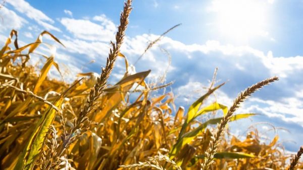
The EU Joint Research Center modeled agricultural impacts specifically. Durum wheat — the base of pasta, couscous, and staple diets across North Africa and southern Europe — is projected to see sharply higher global prices as the event intensifies. Maize may follow. Rice shows a complex pattern: a slight early decline followed by a later price increase as the agricultural disruptions compound. For the most extreme scenario, the JRC notes its models are extrapolating beyond any historical precedent.
The historical reference point scientists keep returning to is the El Niño of 1877-78. That event is considered among the strongest ever recorded. It triggered simultaneous droughts across Asia, Africa, and Latin America, contributing to the Global Famine of 1876-78, which killed an estimated 50 million people. Climate change did not cause that event. Weak governance, colonial resource extraction, and the absence of early warning systems converted a climate shock into a humanitarian catastrophe.
The WEF’s analysis is explicit on this point: the warning is not that El Niño 2026 will replicate the 1877-78 event. It is that the conditions that amplify a climate shock into a civilizational event — brittle food systems, stressed institutions, geopolitical instability — are present in 2026 in ways that should not be dismissed. The most dangerous aspect of El Niño 2026 may not be the heat itself. It may be what happens to already-fragile systems when the heat arrives on top of everything else they are already carrying.
What the next six months actually hold
By late July, El Niño’s atmospheric signature will have broken fully into the global weather system. The WMO has confirmed that above-normal temperatures are projected for virtually every part of the globe through the June-July-August season. No region escapes the temperature anomaly; only the magnitude and the associated precipitation impacts vary by location.
Through August and September, the event is expected to intensify. NOAA’s seasonal models put the peak of El Niño strength in the northern hemisphere winter — the period of maximum global impact. Sea surface temperatures in the monitored Pacific region will continue to rise, releasing stored heat into the atmosphere and elevating global averages at a moment when human-caused warming has already shifted the baseline to its highest historical level.
The Atlantic hurricane season, paradoxically, may offer modest relief. Strong El Niño events historically suppress Atlantic hurricane activity by increasing vertical wind shear — the differential in wind speed at different altitudes that tears nascent storms apart before they can organize. NOAA has already forecast a below-normal 2026 Atlantic season. This is not good news for everyone: the Pacific hurricane season tends to intensify under El Niño, and any storms that recurve toward the U.S. Southwest or Hawaii arrive in regions already dealing with drought and elevated wildfire risk.
By December, the world will be in the deepest phase of a potentially historic climate event, with peak heat building across the tropics and subtropics, food prices elevated, fire seasons either ongoing or having left their aftermath, and parts of Australia, Southeast Asia, and southern Africa in drought conditions that may not break until the event weakens in mid-2027. Europe will enter winter having broken heat records that had stood since before living memory, with soil moisture depleted and wildfire scars across France, Portugal, and Spain.
There is a word that keeps appearing in the scientific literature for 2026: unprecedented. It appears so often that it risks becoming noise — a modifier so routinely attached to climate events that it loses its weight. But its weight is worth recovering. Unprecedented means the instruments we have were built to measure something that is no longer happening. It means the analogies we have are from a planet that no longer exists. It means the models are being asked to forecast into territory they were not trained on.
The heat has a name. Super El Niño 2026 is not a metaphor for the broader climate crisis, though it is connected to it. It is a specific, measurable, ongoing reorganization of the global atmosphere, with known mechanisms and documented regional consequences, occurring on a planet already at its warmest since before human civilization. The next six months will tell us something about whether the systems humans have built — for food, for water, for energy, for governance — were built for this world. The evidence of June already suggests the answer is partial, at best. The heat does not negotiate with the infrastructure it finds. It simply arrives.
Follow us on X, Facebook, or Pinterest
